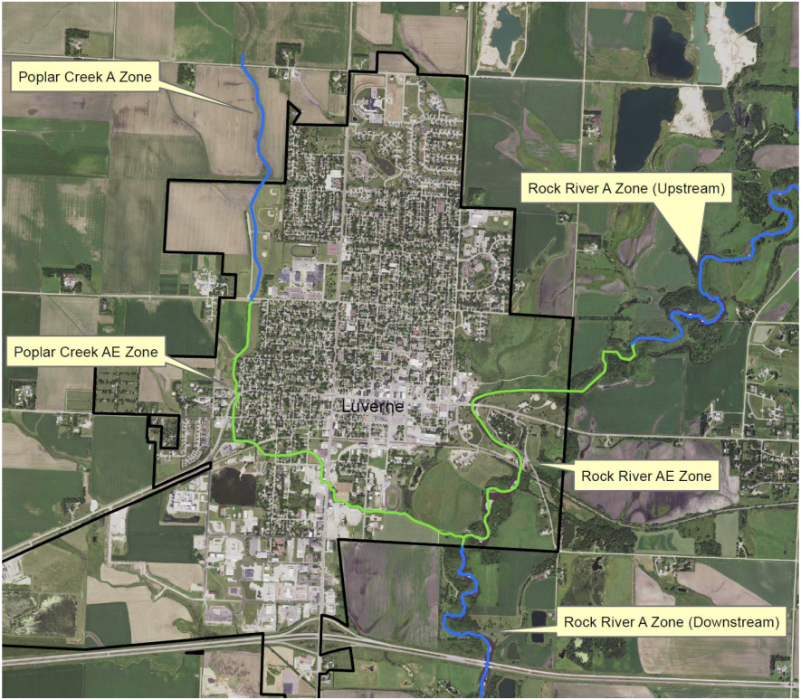
In the city of Luverne, the Minnesota Department of Natural Resources will update the hydrology maps involving Poplar Creek (left) and the Rock River (right) that will include the effect of the retention projects constructed in the 1990s for flood storage.

FEMA starts updates on flood maps for Luverne, Rock County

City of Luverne and Rock County officials met March 27 with state and federal officials to restart the flood plain mapping process.

You must log in to continue reading. Log in or subscribe today.