


 ,
,  ,
,  ,
,  ,
,  ,
,  ,
,  ,
,  ,
,  ,
,  ,
,  ,
,  ,
,  ,
,  ,
,  ,
,  ,
,  ,
,  ,
, 
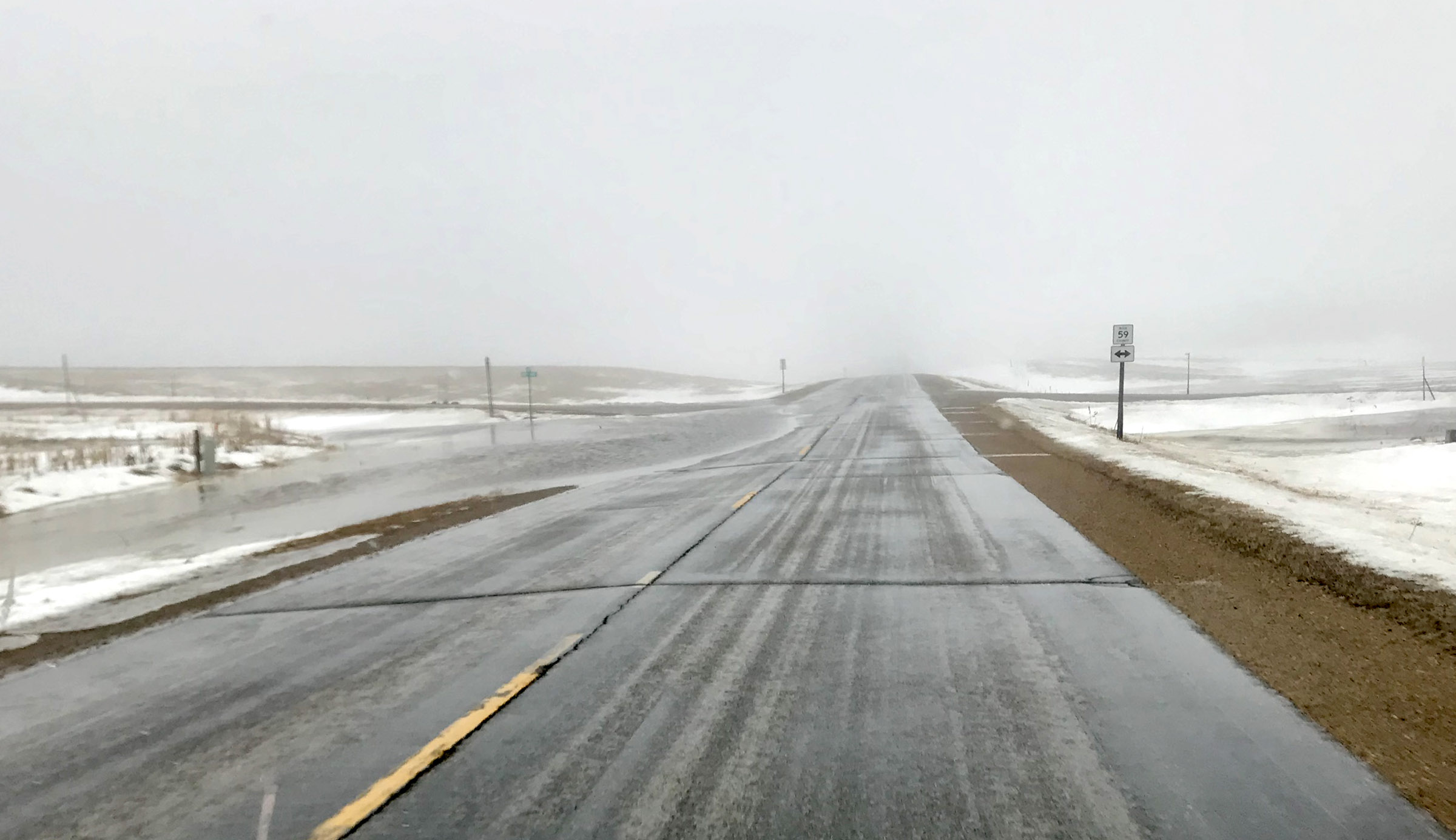
Raging floodwaters that closed roads and damaged property last week quieted down over the weekend, and several dry days and freezing overnights have slowed the spring thaw.
But area residents and emergency officials are bracing for the next round with a warmer forecast and hydrology warnings for the Rock River and Split Rock Creek in Rock County.
As of Tuesday morning, the National Weather Service had issued flood warnings for areas in Rock County near Split Rock Creek south of Jasper and the Rock River at Luverne, near Hardwick and in Rock Valley, Iowa.
This news comes while many homeowners are still cleaning flood-damaged basements and public works crews are checking roads damaged March 14-15.
In response to the March 14 flood event, the Rock County Commissioners on Tuesday declared a state of emergency. The declaration covers the next 30 days in order to tabulate damage to public property.
Damage threshold for Rock County to receive state funds is just over $18,000.
Local problems stemmed from an historic storm system that moved across the central United States producing blizzard conditions, heavy rainfall, and severe storms.
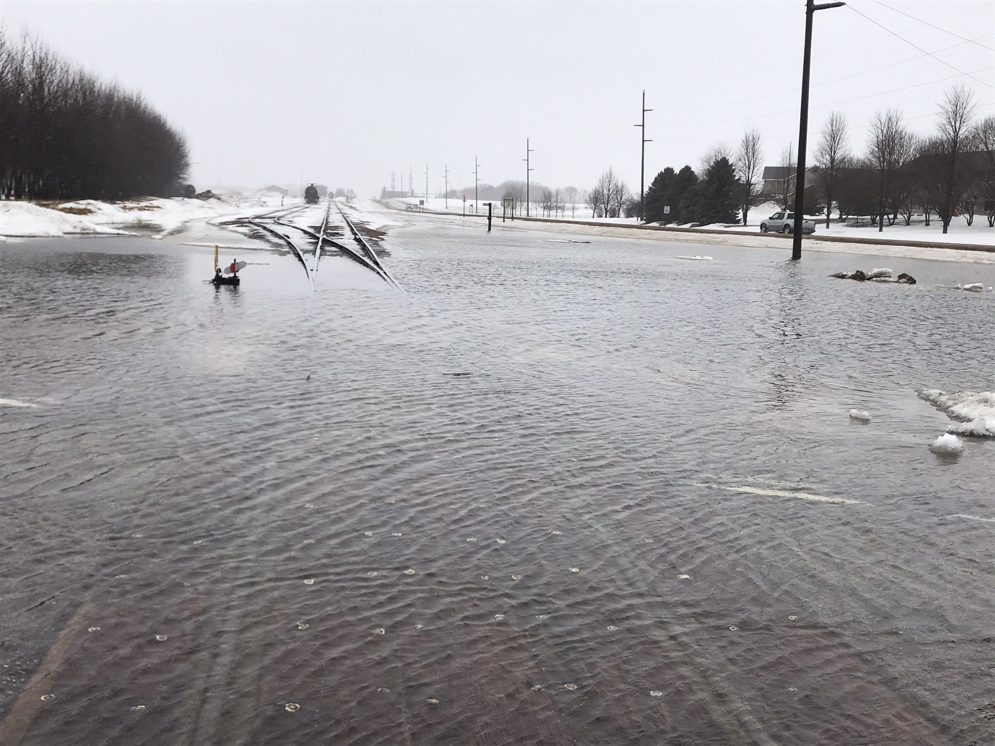
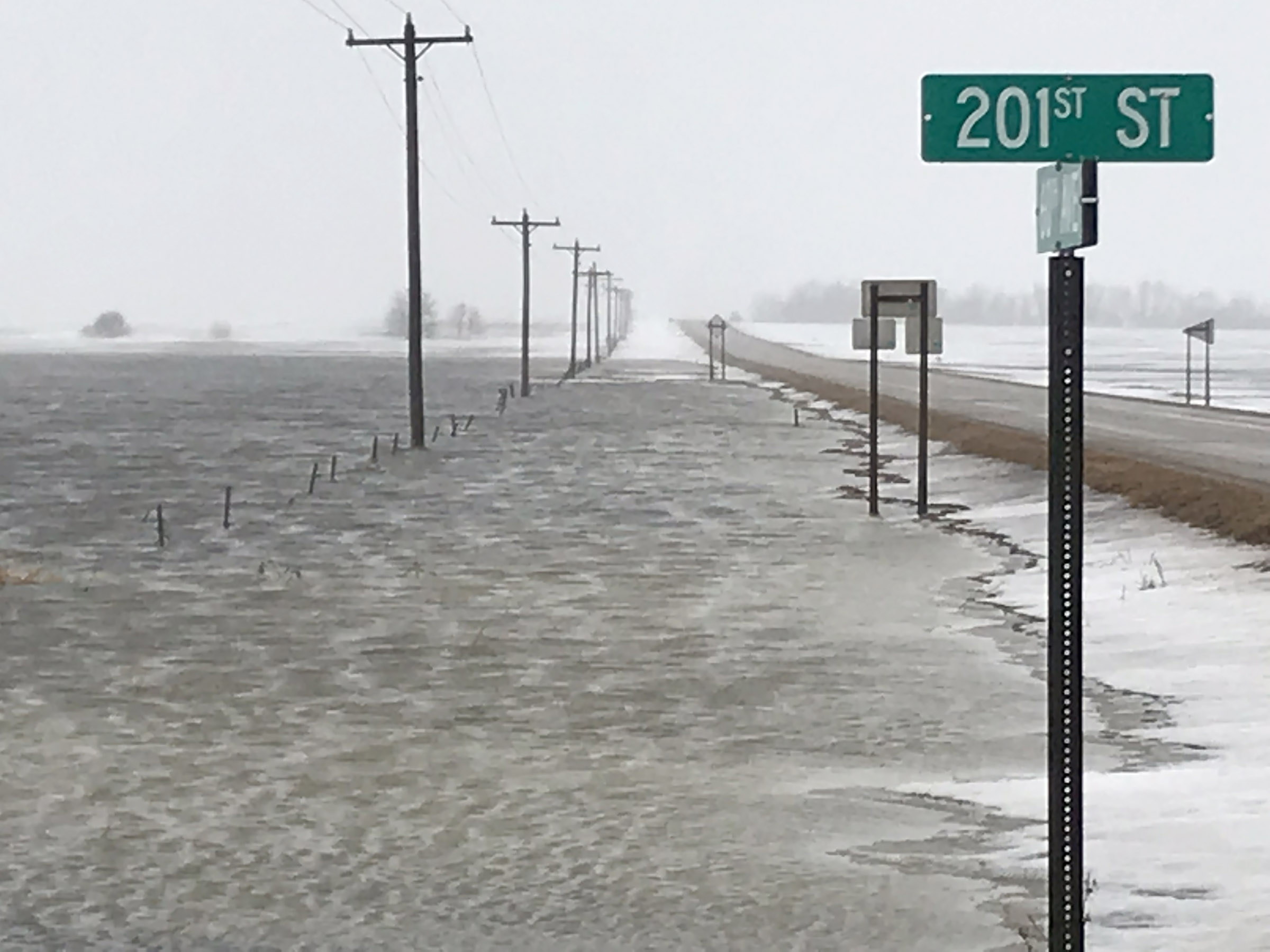
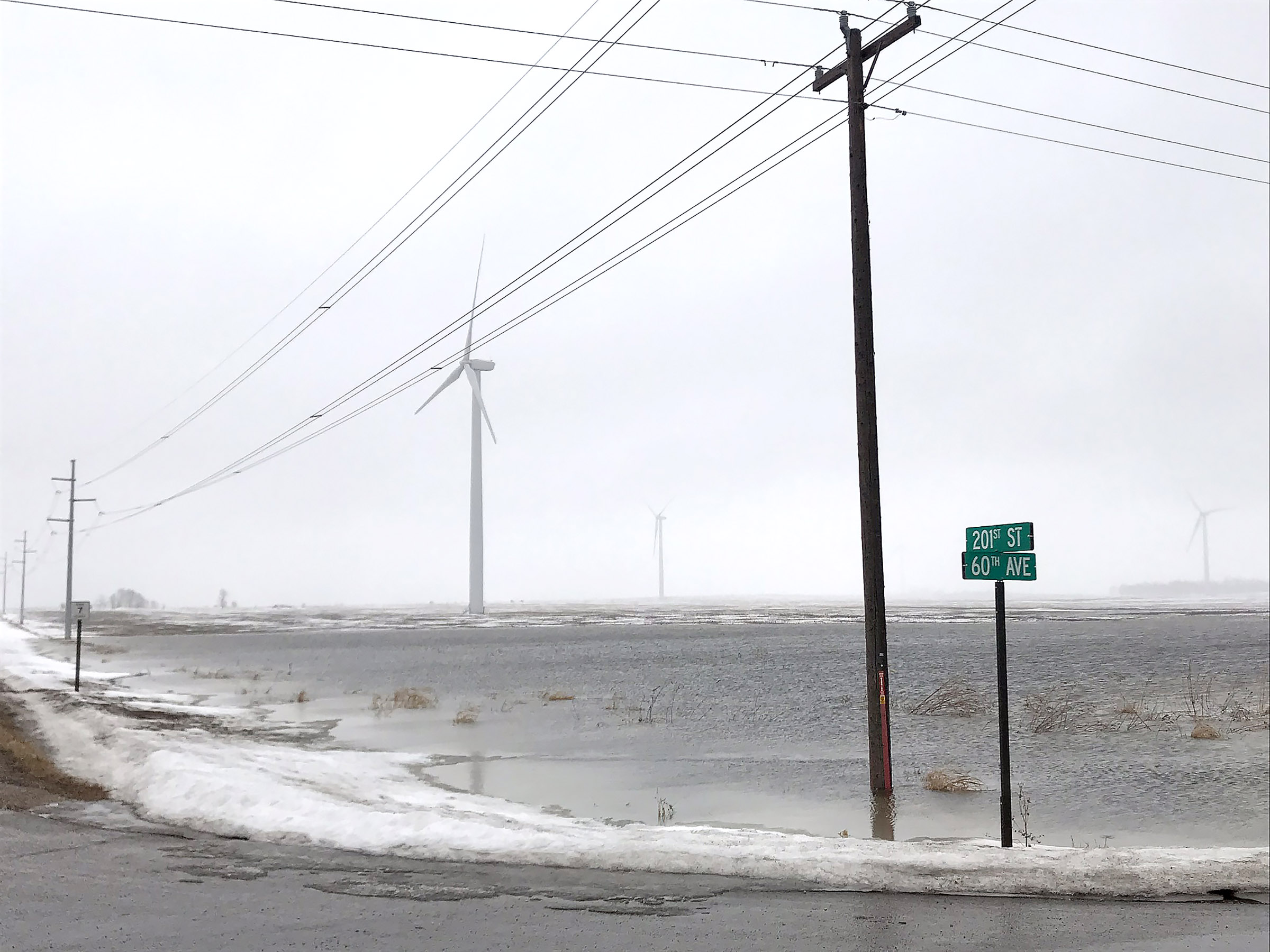
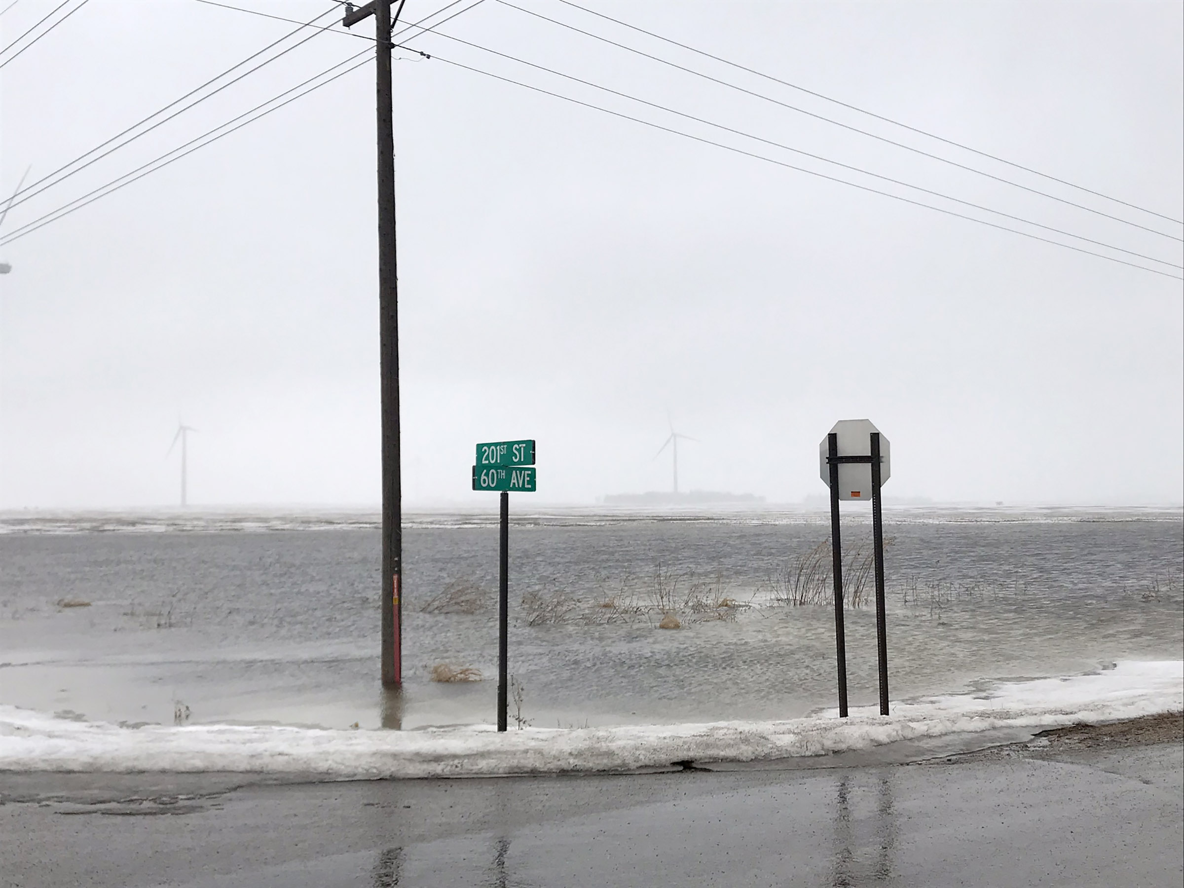
Snowmelt and heavy rains — nearly 2 inches in many parts of Rock County — prompted widespread flooding.
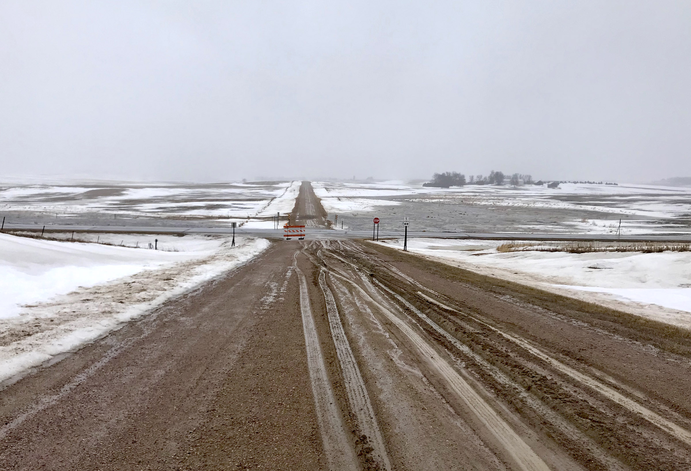
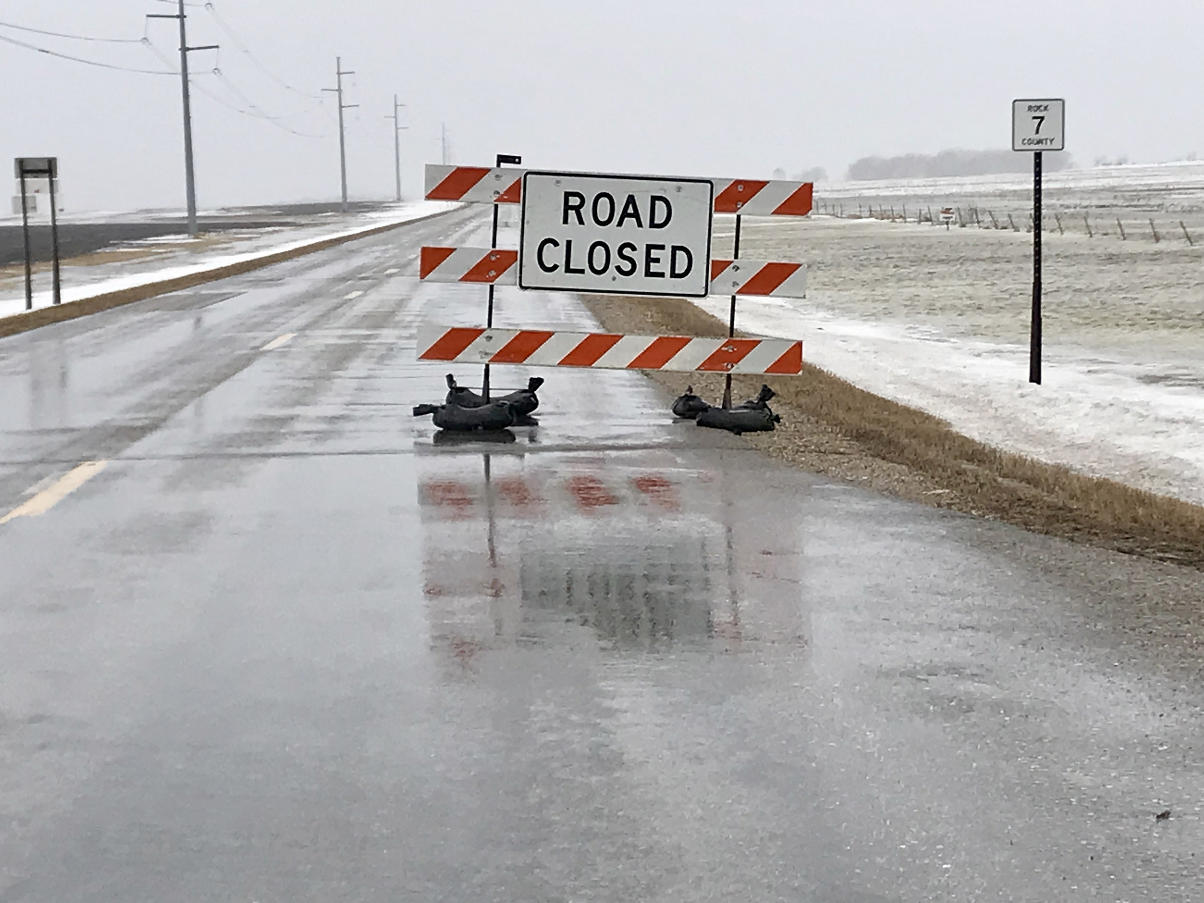
Several county roads and an unknown number of township gravel roads in Rock County were closed Thursday due to flooding and travel wasn’t advised in most of southern Minnesota.
These included I-90 and U.S. Highway 75, which were closed for extended periods of time near Luverne. At one point Friday, there were more than a dozen impassable roads in Rock County due to water over the roads.
Many gravel roads were rendered nearly impassable by the weekend simply because they were too soft to support vehicles, which risked getting stuck.
Area schools canceled classes both Thursday and Friday, and families have been notified that buses will travel on hard-surface roads only until further notice.
With frozen soil under the snowpack, rain still has nowhere to be absorbed, and it simply runs off to the nearest lower levels.
Ice jams on rivers, culverts plugged with ice, ditches full of snow and plugged catch basins have been the primary causes of the flooding.
Tuesday’s National Weather Service flood warnings are effective through March 28 and take into consideration the possibility for rain overnight Tuesday.
“Additional future rains (beyond March 20) could affect crest forecasts,” the National Weather Service warned in its report.
The Rock River at Luverne was at 9.46 feet (flood stage is 10 feet) and it is forecast to rise above flood stage by Saturday and crest near 13.2 feet.
The Rock River near Hardwick Tuesday morning was nearly 15 feet (flood stage is 14 feet). At stages near 14 feet the lower banks of the river overflow with significant amounts of agricultural land flooded.
Split Rock Creek was nearly 95 feet (flood stage is 91 feet) and at stages near 96 feet the higher banks on this stretch of the creek are overtopped.
River levels can be monitored online at weather.gov.